Late Spring at Masaki
One of my first journeys to find the location of a historic woodblock print.

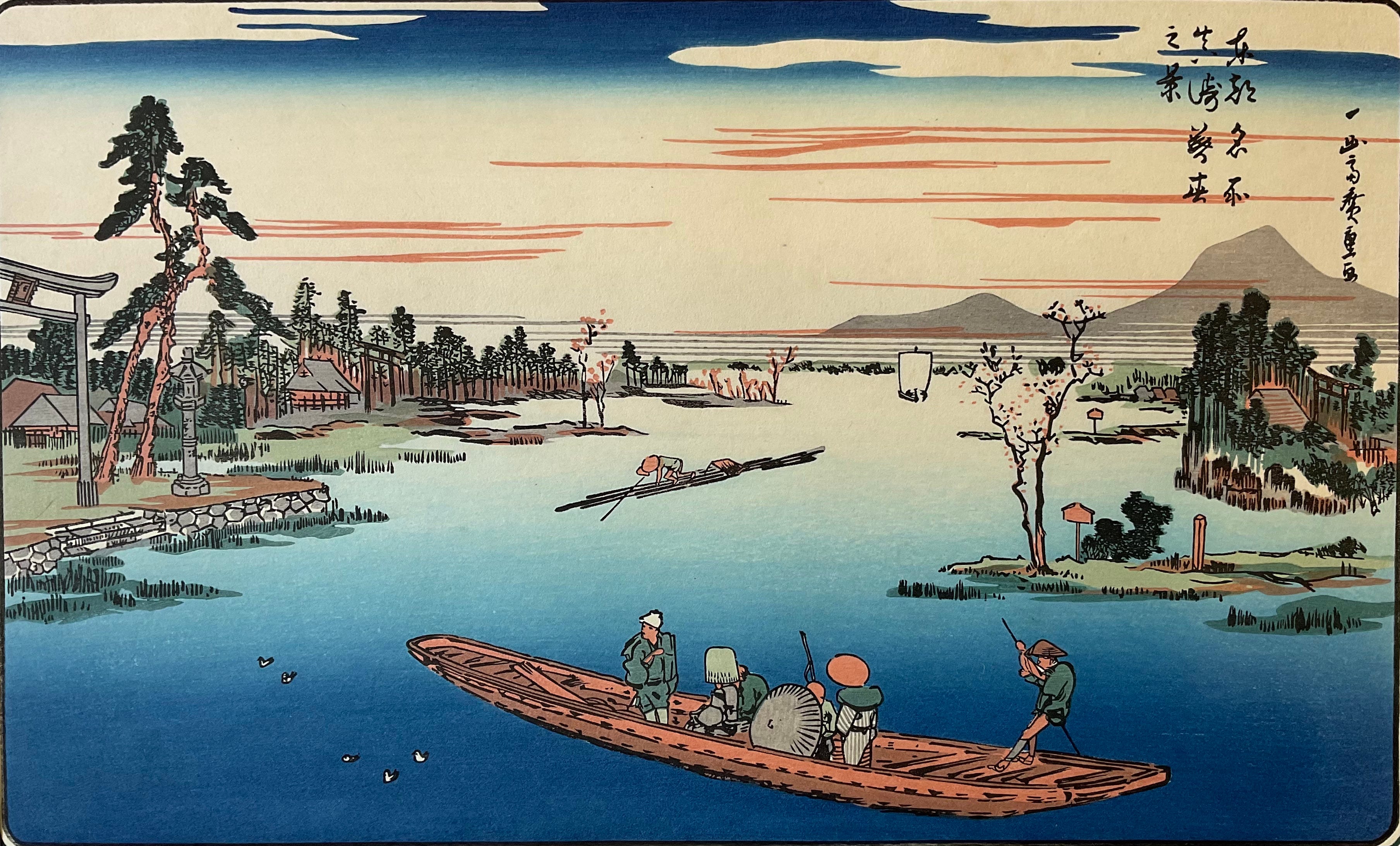
As Hiroshige envisioned it in his debut landscape series, “Famous Places in the Eastern Capital”.
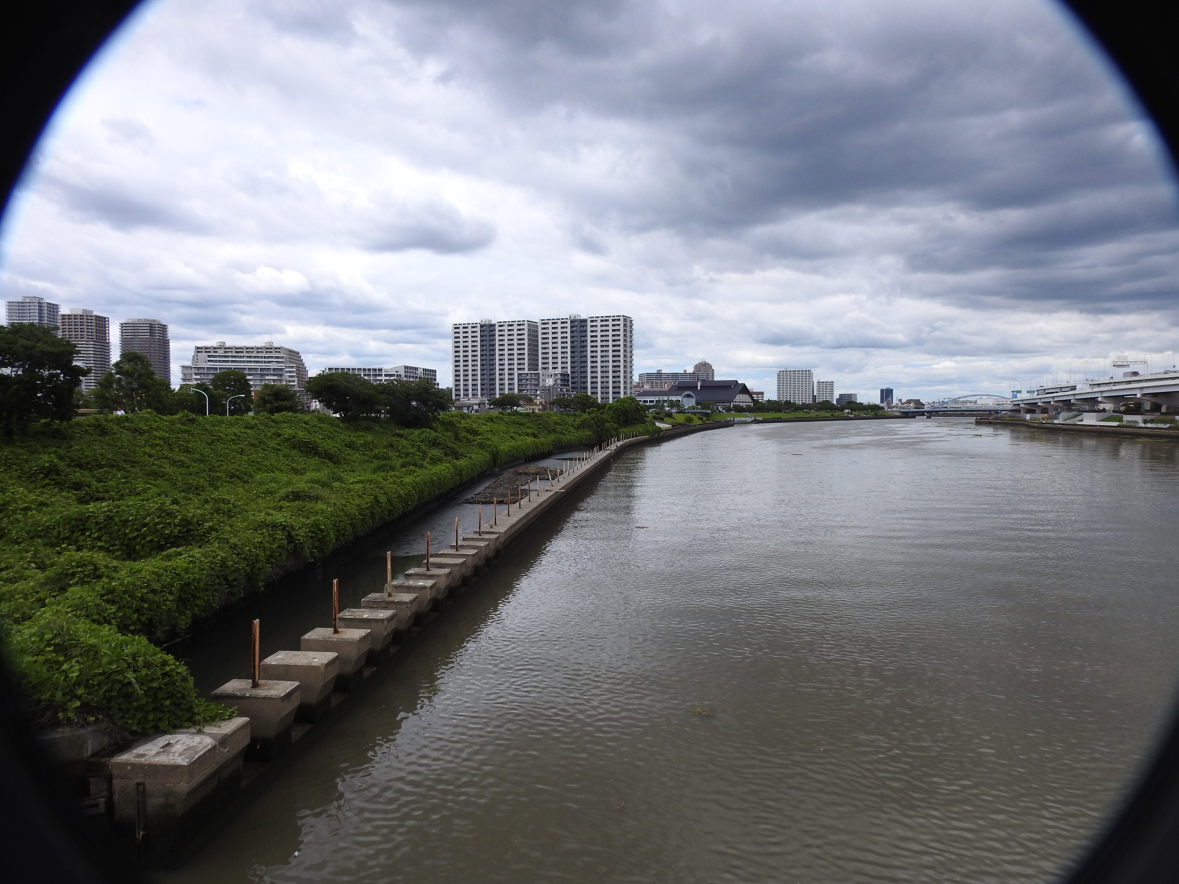
As it looks today. First, let me point out that Tsukuba Mountain, which features prominently in the print is hidden by the elevated highway on the right. But how can it be, given how large it looms in the print? This question is one of several that had me questioning if I had the correct location. I would learn that Hiroshige often exaggerated the the size of distant mountains, and occasionally other things in his work.
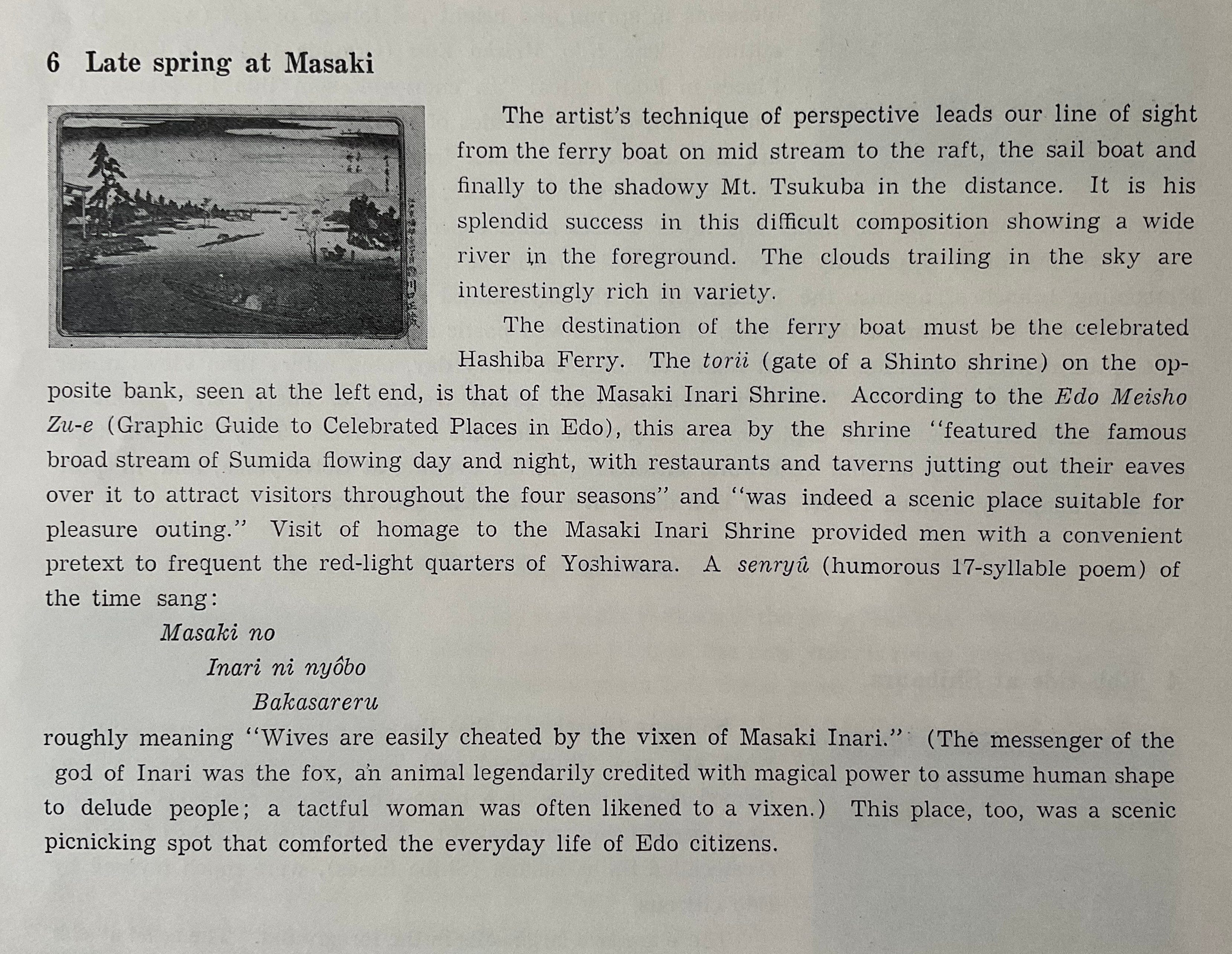
The explanation that accompanied the print. The name of the shrine is “Masaki Inari Shrine”. The landing is no more, replaced by the levee as seen in the photograph of the same site.
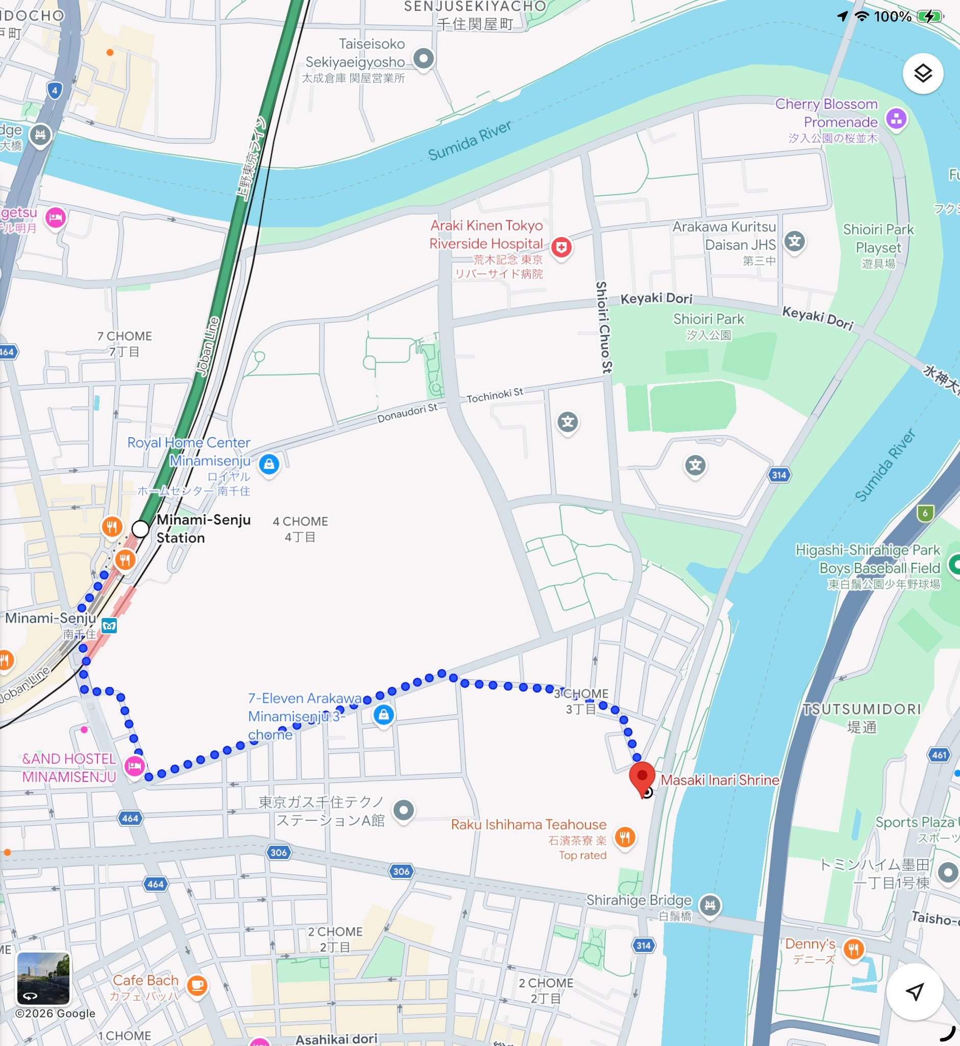
Inputting “Masaki Inari Shrine” into Google maps brings up this map.
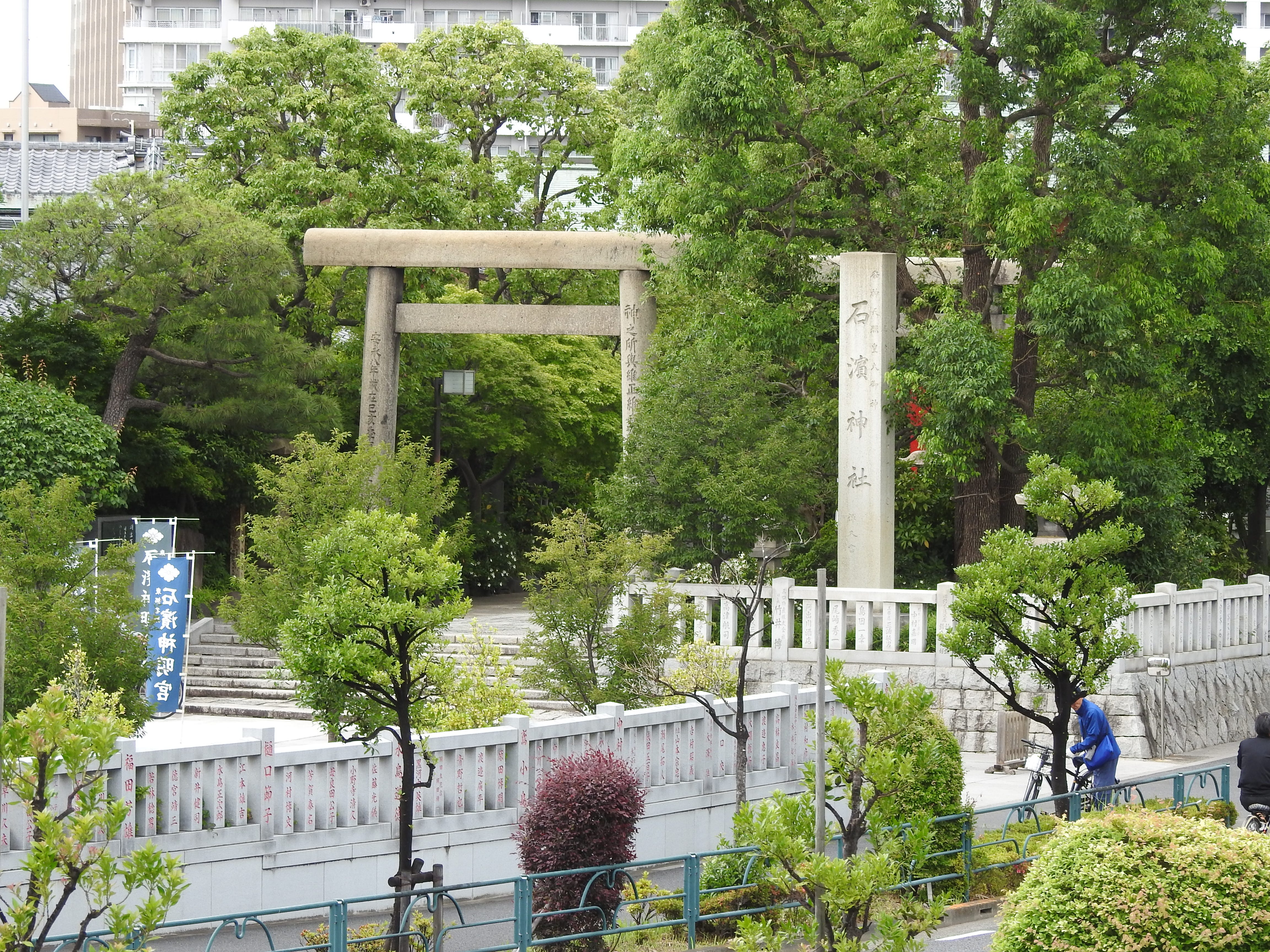
However, as seen by the inscription of the stelae, this is Ishihama Shrine. Here is where local knowledge comes into play. Many shrines, even extremely small ones often have smaller ones within their precincts. Suspecting (hoping?) this to be the case here, I continued towards the shrine.
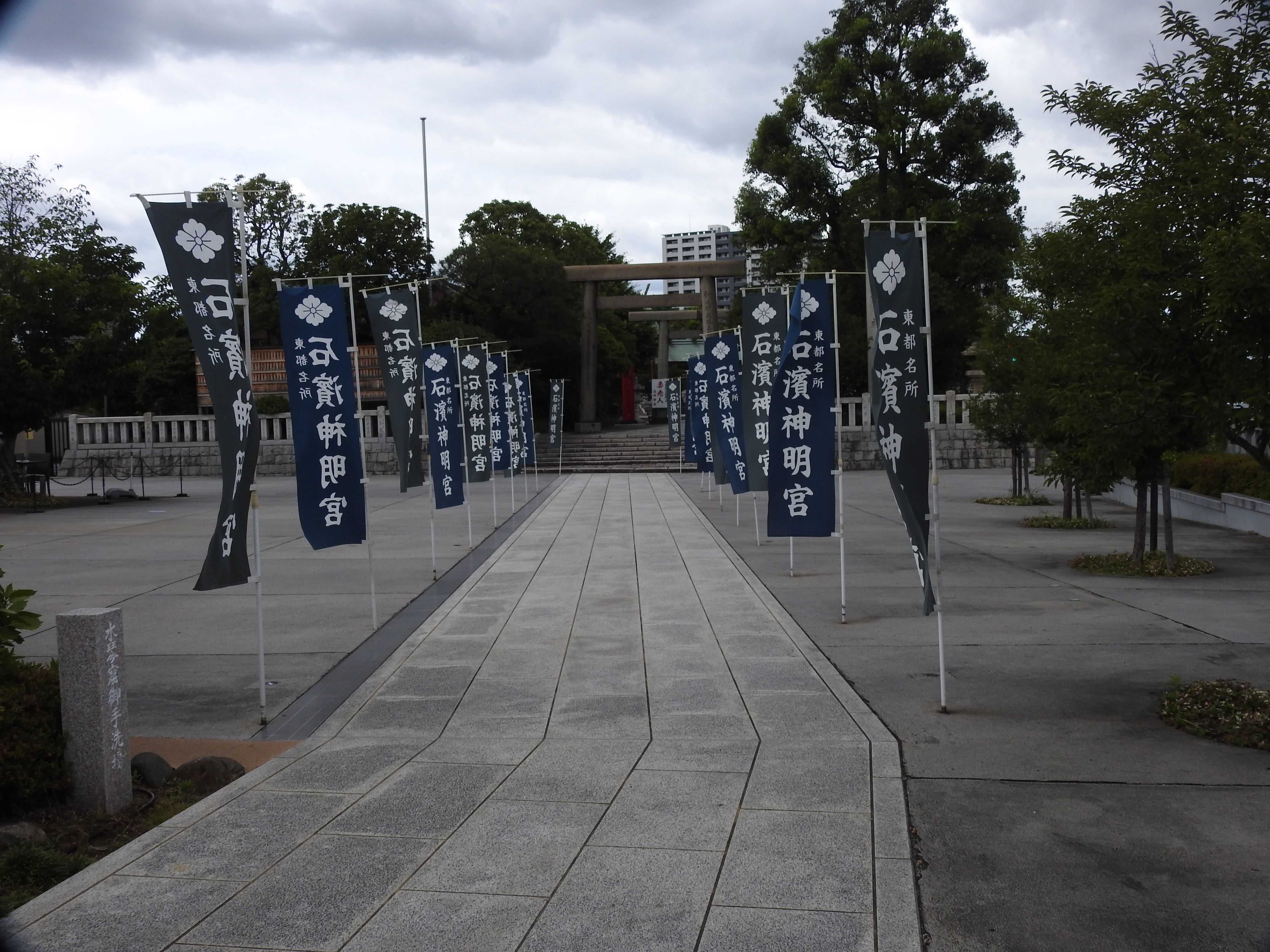
To the left of the flag lined walkway is the tea house seen on the map. I stopped here for lunch outside before completing my quest. The food was excellent. While there, one of the waitresses fell ill and an ambulance was called. She must have lived nearby for her mother arrived on foot in time to ride the ambulance with her. As if that was not surprising enough, the police arrived just prior to the ambulance’s departure and they were interviewing the employees when I went inside to settle the bill.
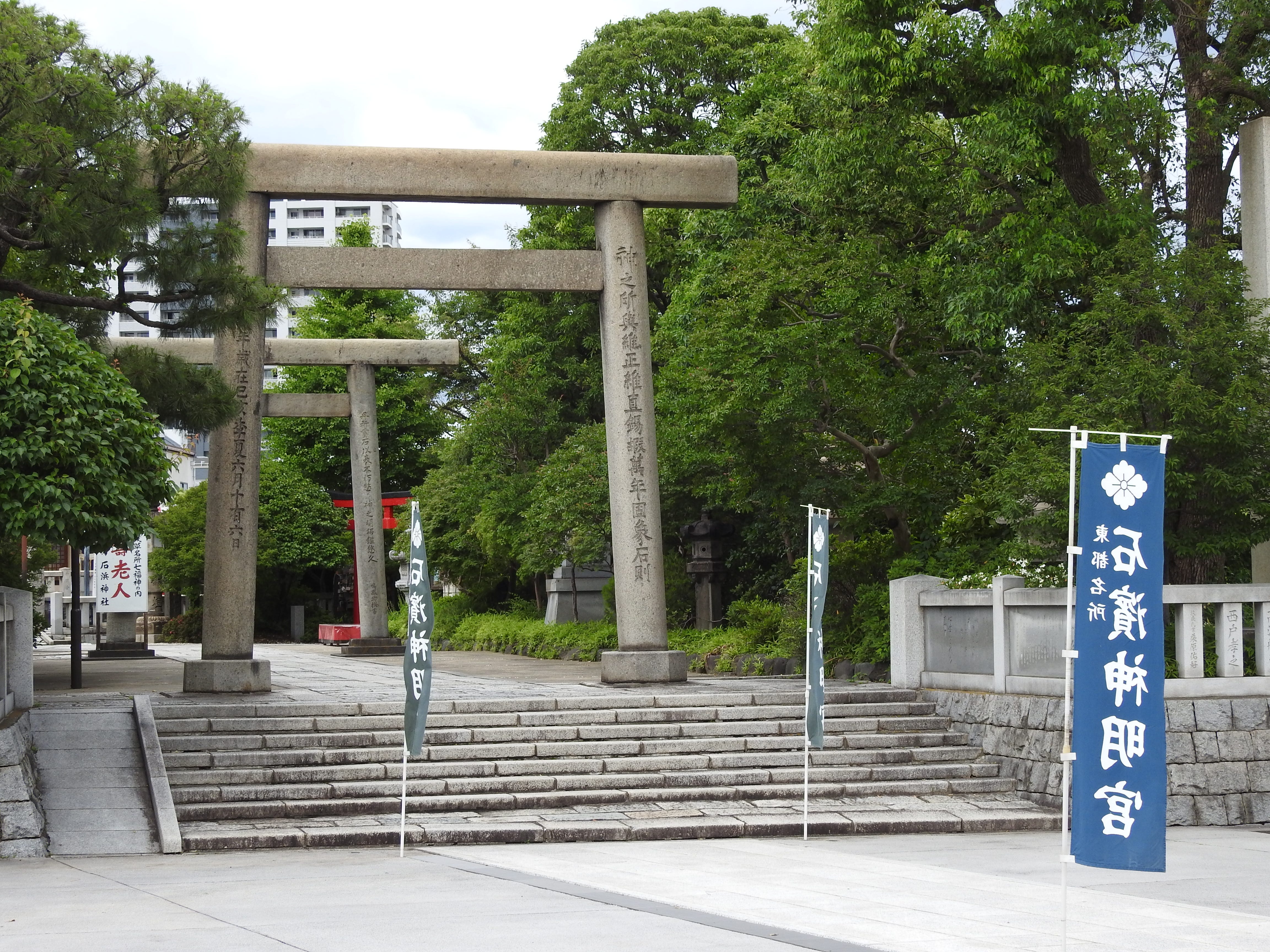
Leaving the lunch time drama behind, I entered the shrine.
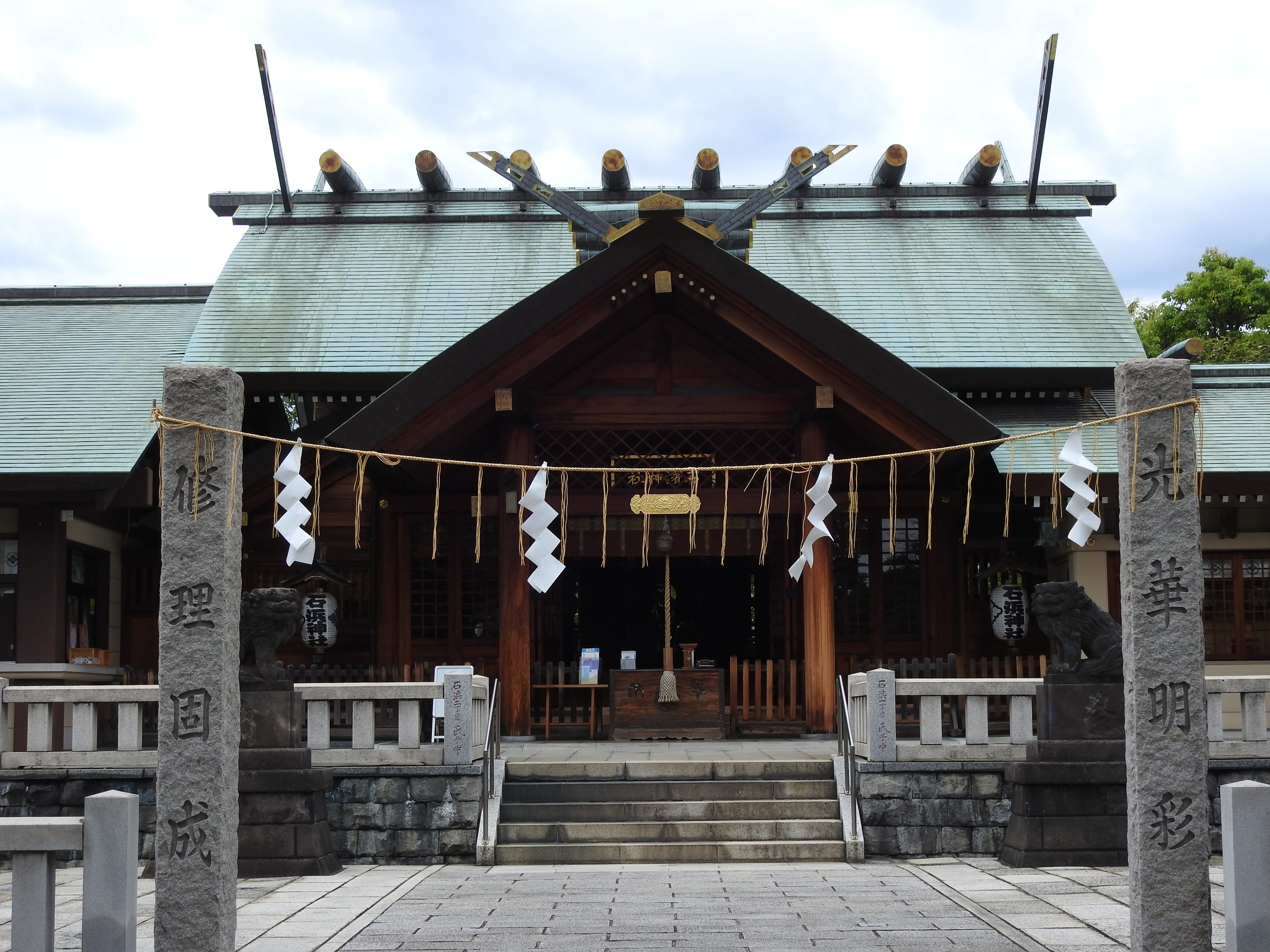
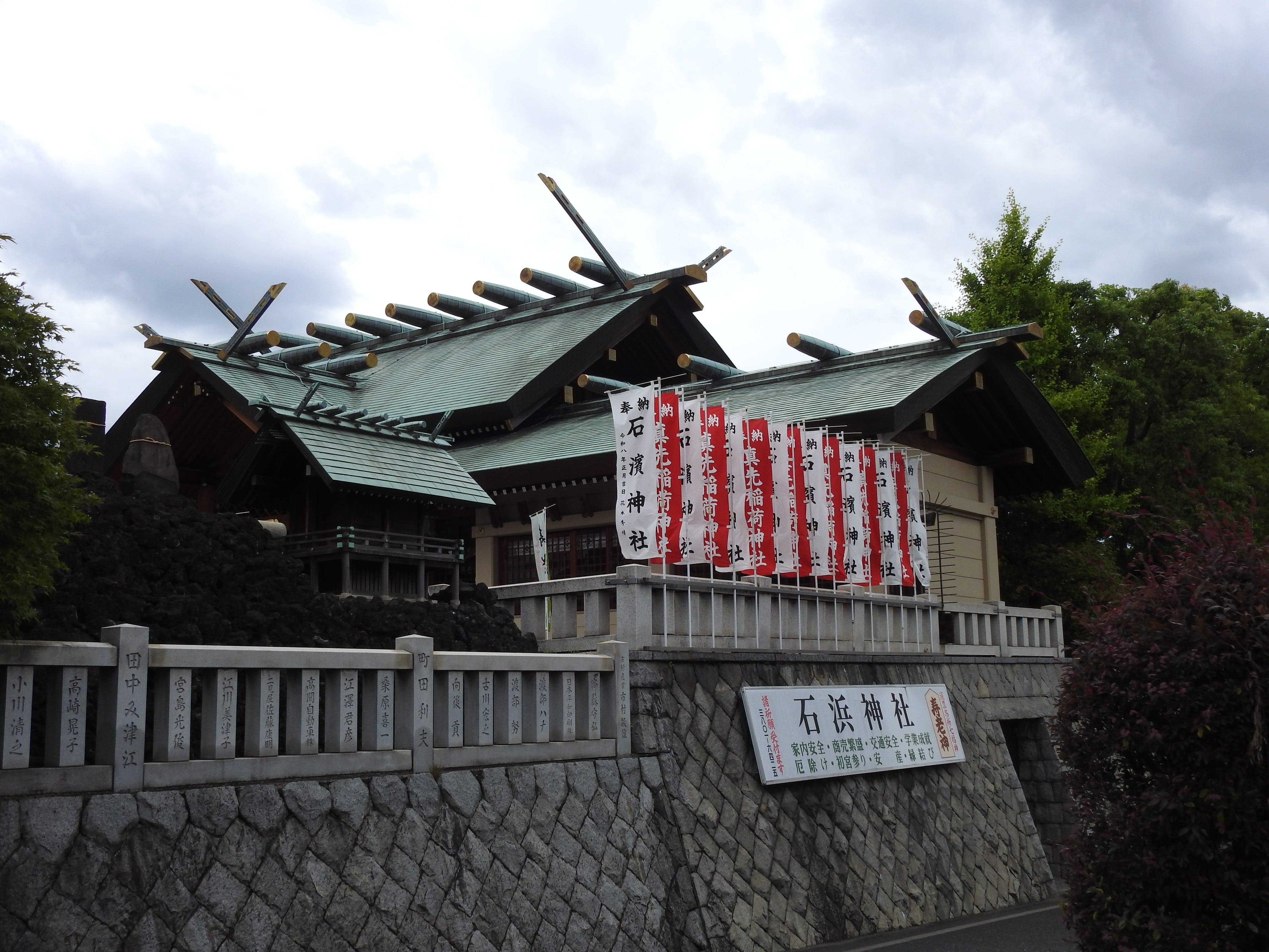
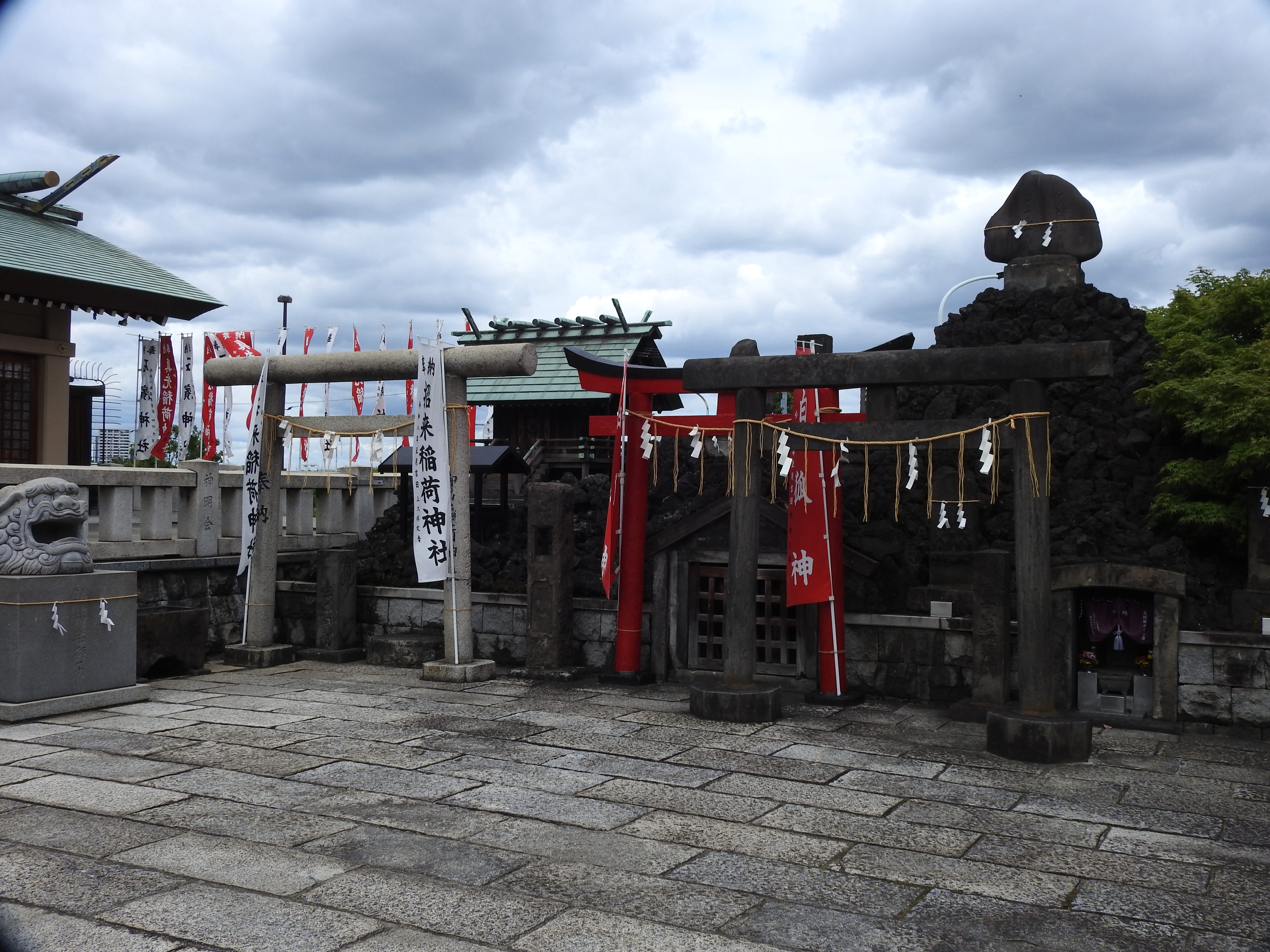
As suspected, there are smaller shrines within. These two were the only ones I found near where the shrine in the print is/was but neither seem to bear its name.
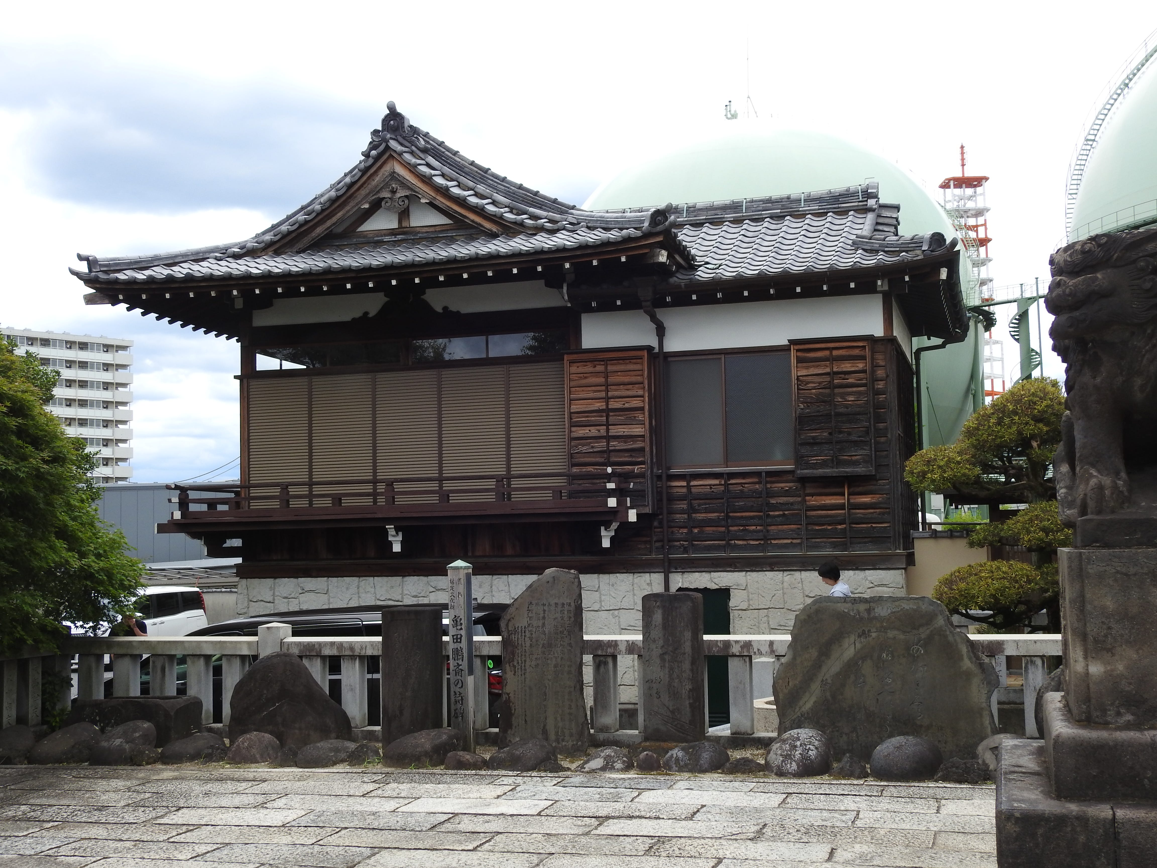
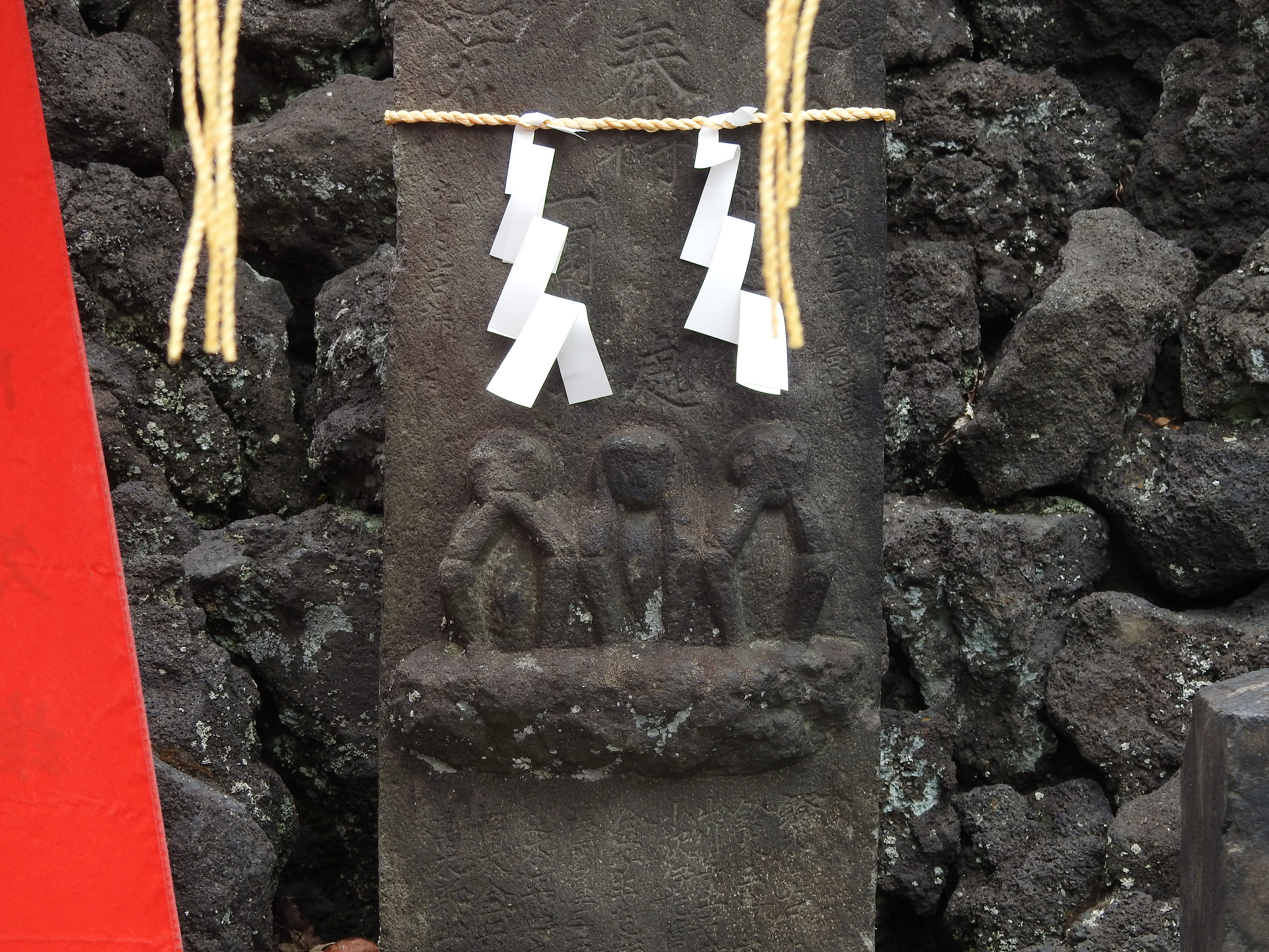
Ah, of course, the Three Monkeys. They can be seen at many shrines.
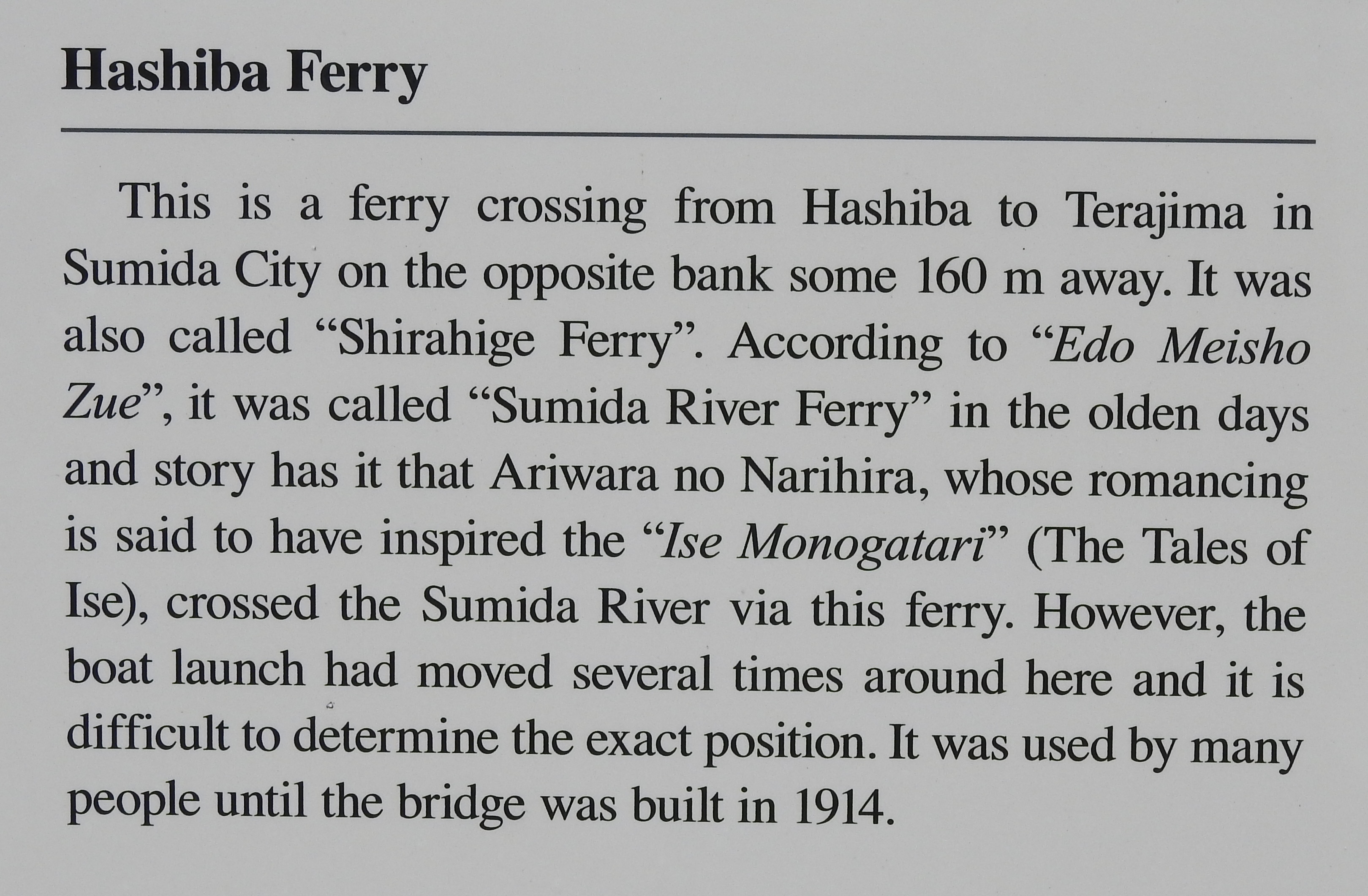
A historical marker found nearby. The Hashiba Ferry is mentioned in the explanation of the print, so I might be at the correct spot.
Below are scans of the pamphlet available at the shrine.
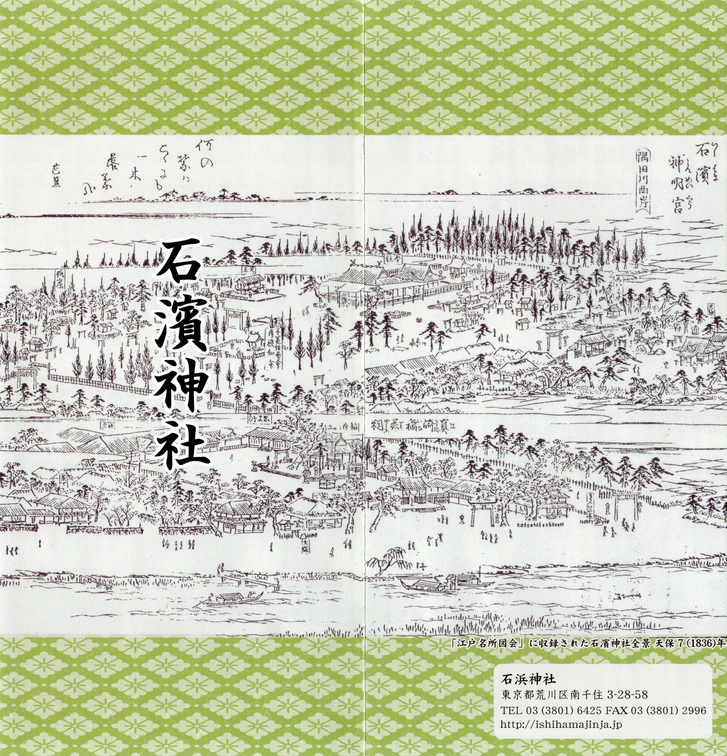
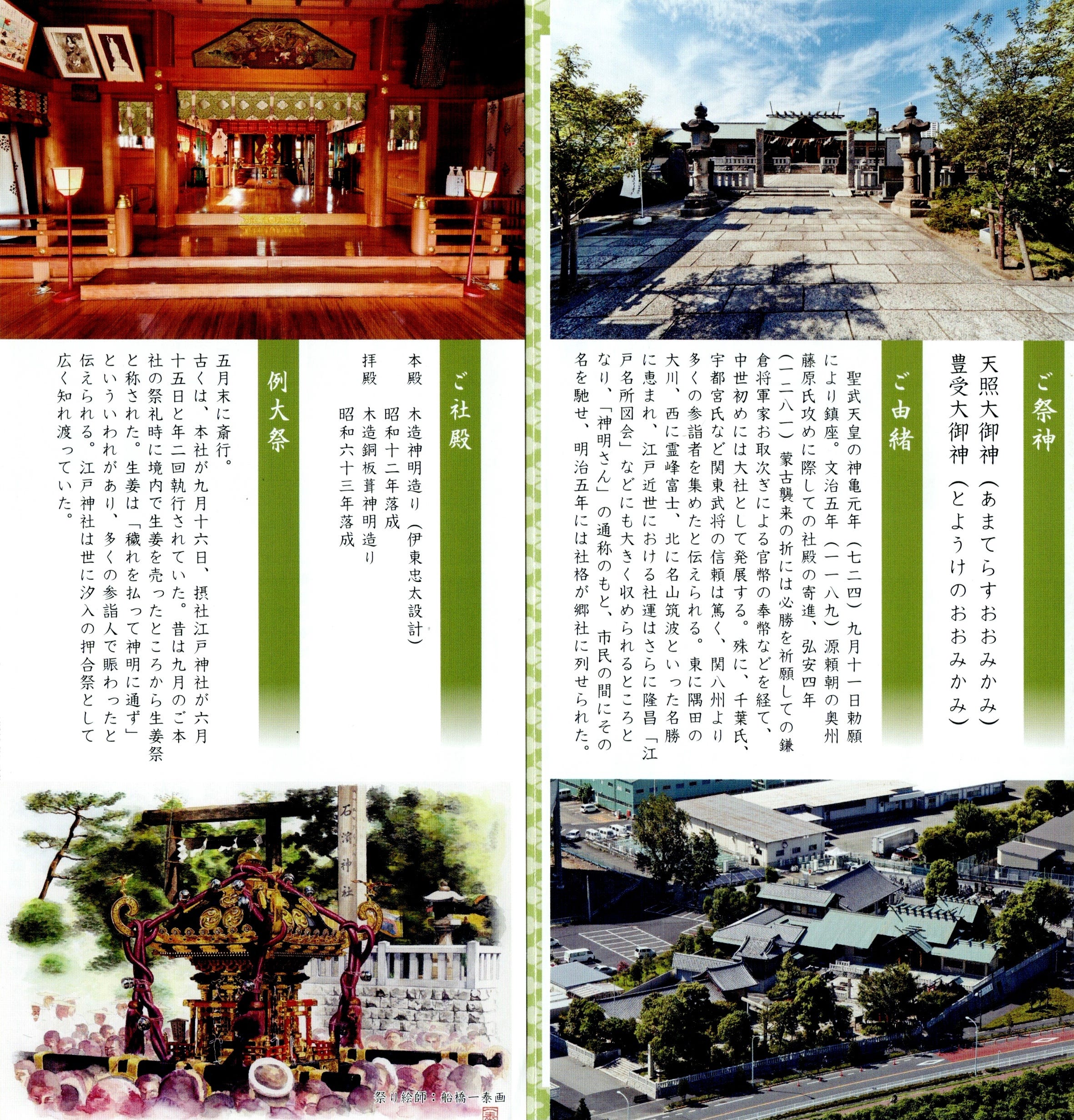
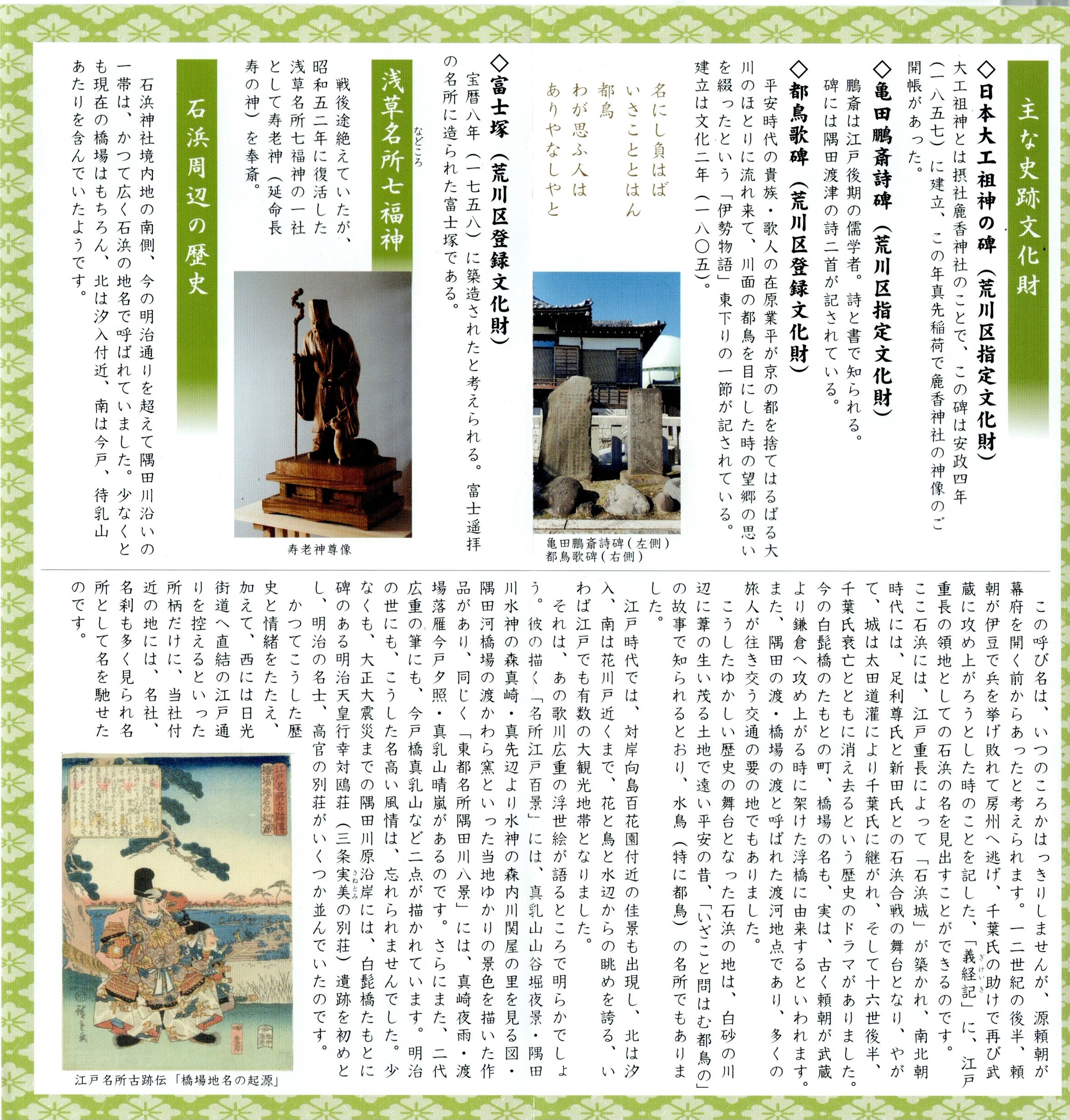
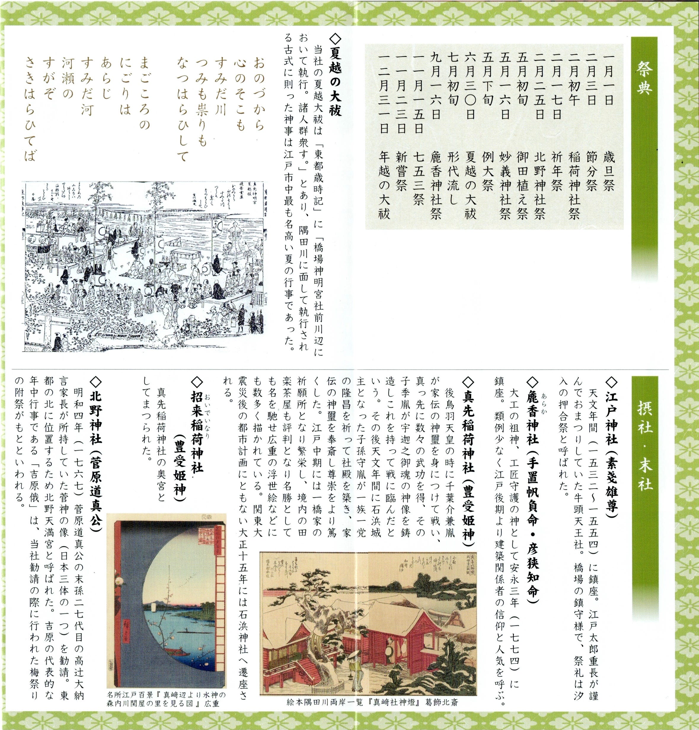
Here, in the image of a ukiyoe print at the lower left we see a more accurate portrayal of how Mt. Tsukuba appears from this area.
Below are machine translations of portions of the pamphlet.
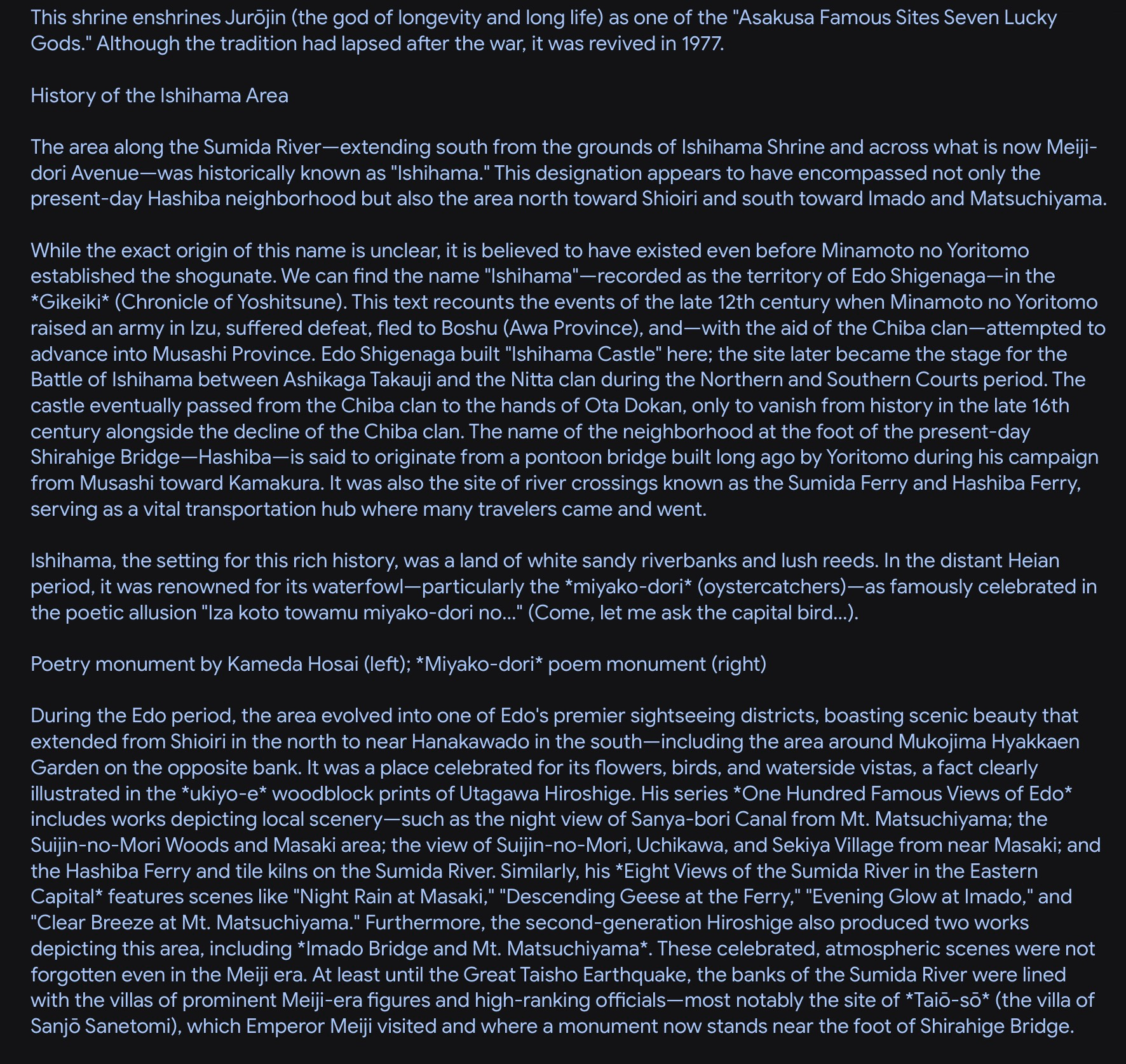
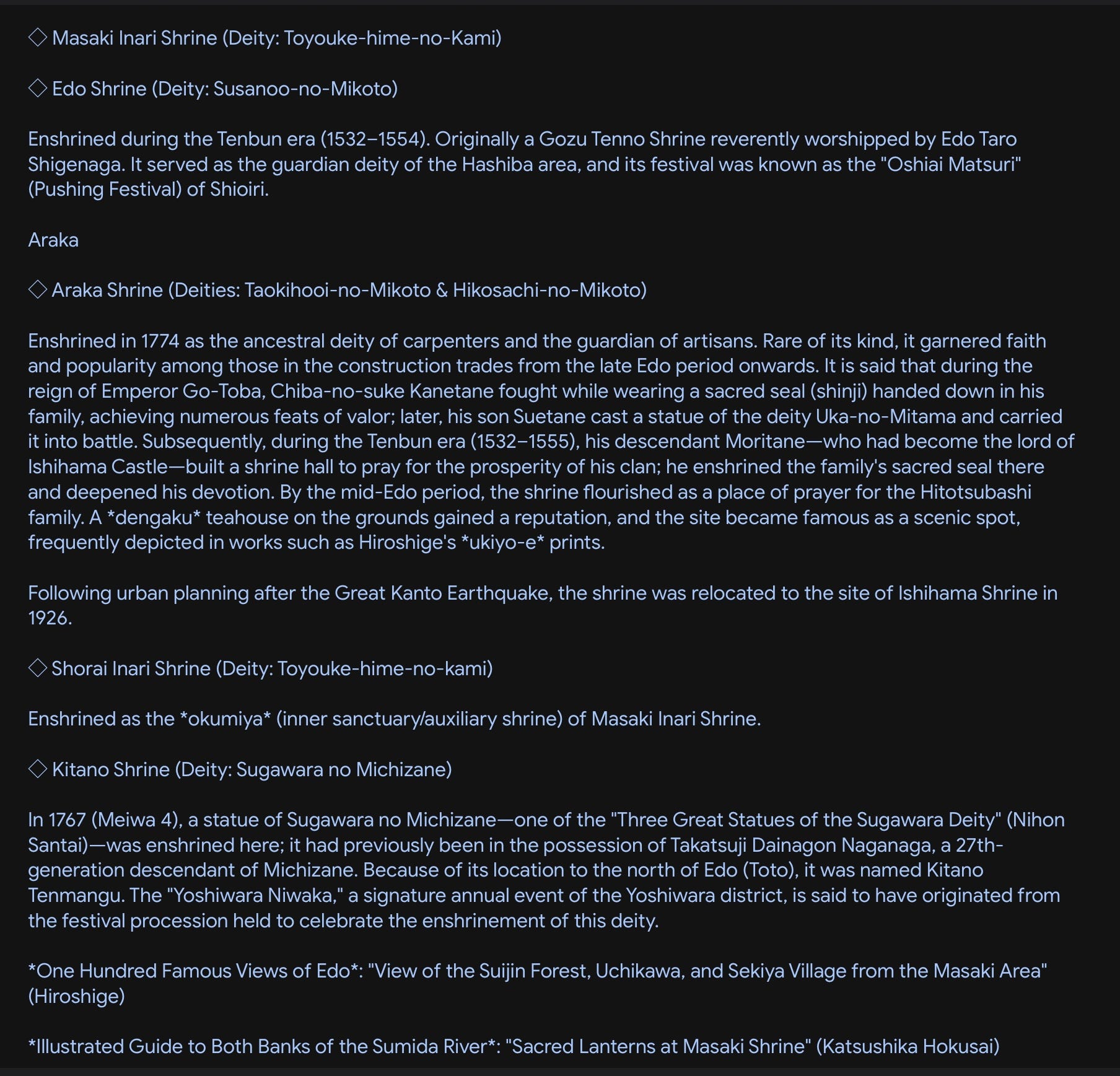
Yep, I have the correct place. Which one of those structures is or houses Masaki Inari Shrine remains a mystery to me, but I have verified that the photo I took is of the same location of the print.
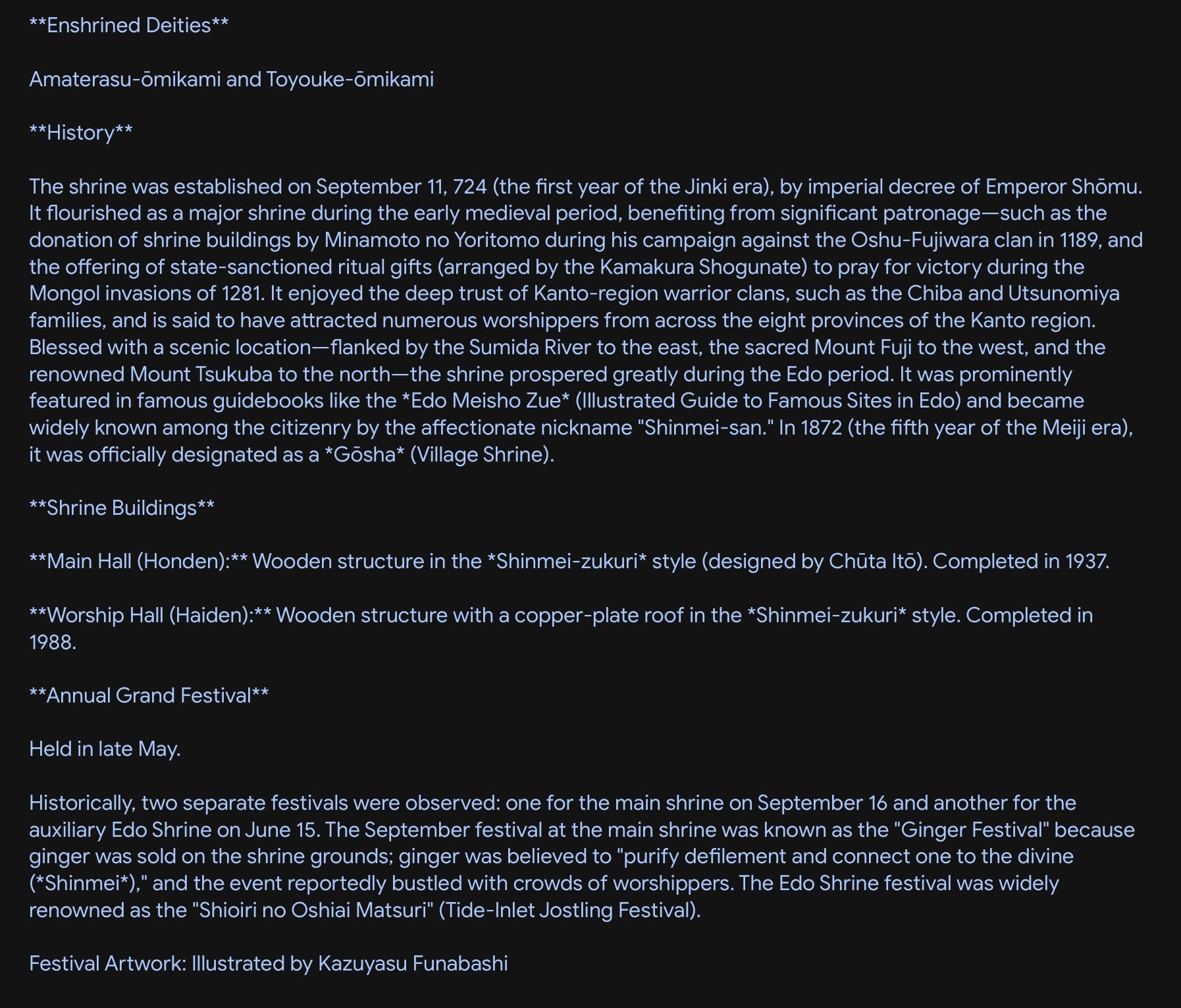
I did not take the route suggested by Google Maps, opting instead to take the main roads to the bridge to take a shot from a similar perspective as the print and then to enter the shrine from that side. This route was rather depressing, the street lined with long since closed businesses, derelict structures and weedy vacant lots, like much of shitamachi, or downtown, Tokyo.
After capturing images of the shrine, I walked north along the West Bank of the River and then eventually back to the train station. Along the river bank and a couple of blocks inland was quite nice and clean. Well maintained apartment buildings, condos and parks, it retained a little of the scenic respite the whole area was once famous for.